
Photo Credits (5)
Difficulty
Easy
Trail Length
1.1 miles
Trail Type
Loop
Elevation Gain
200 ft
About Butte Creek Falls
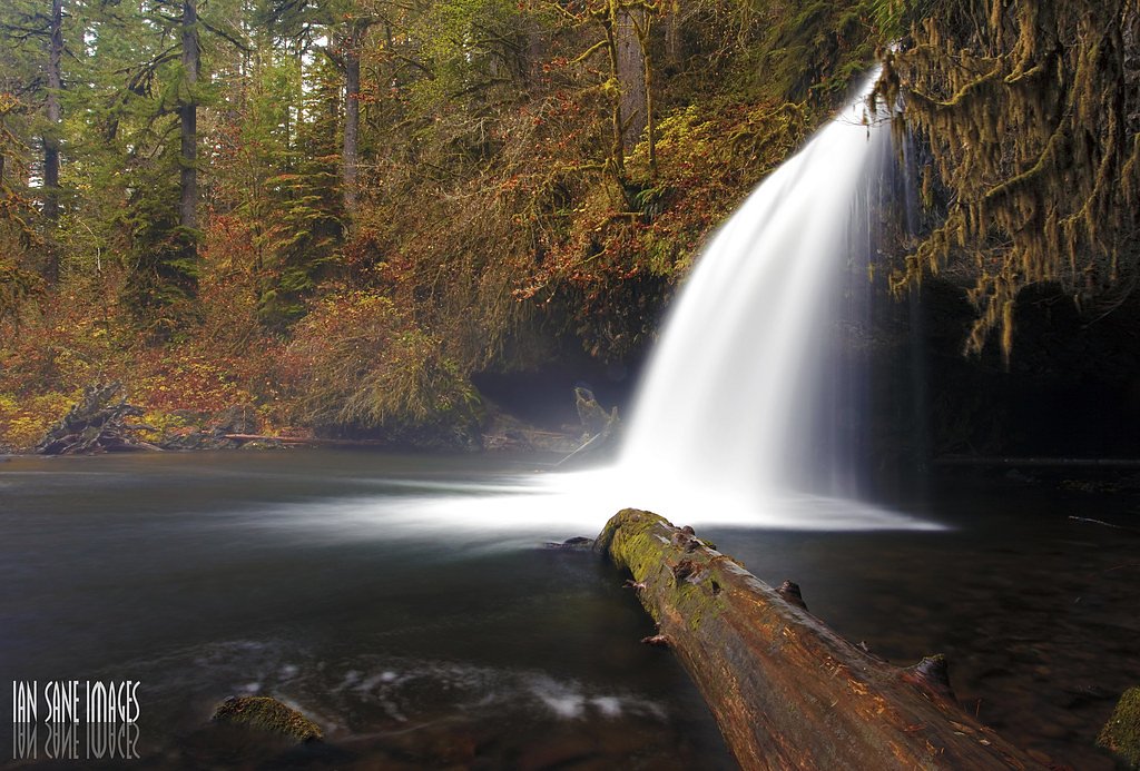
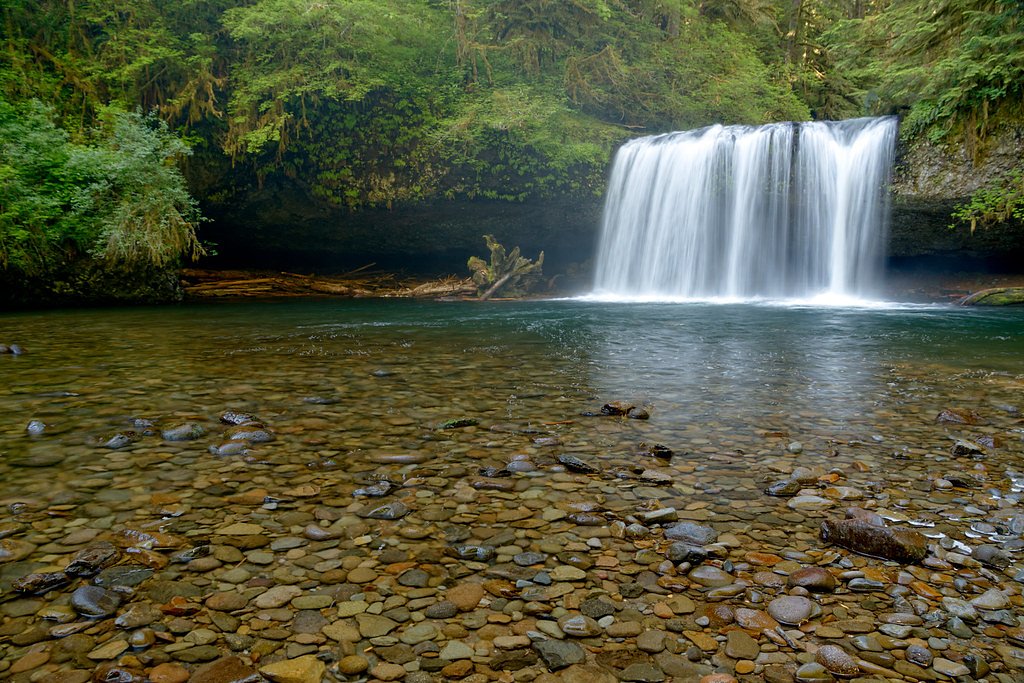
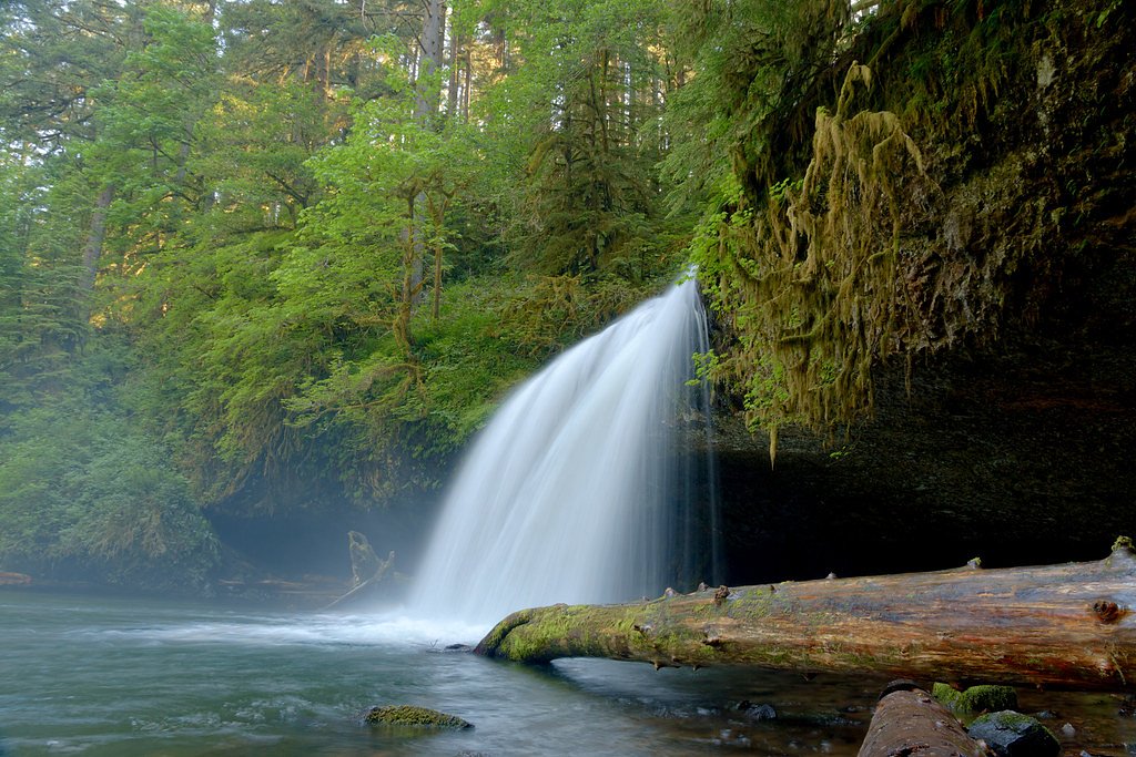
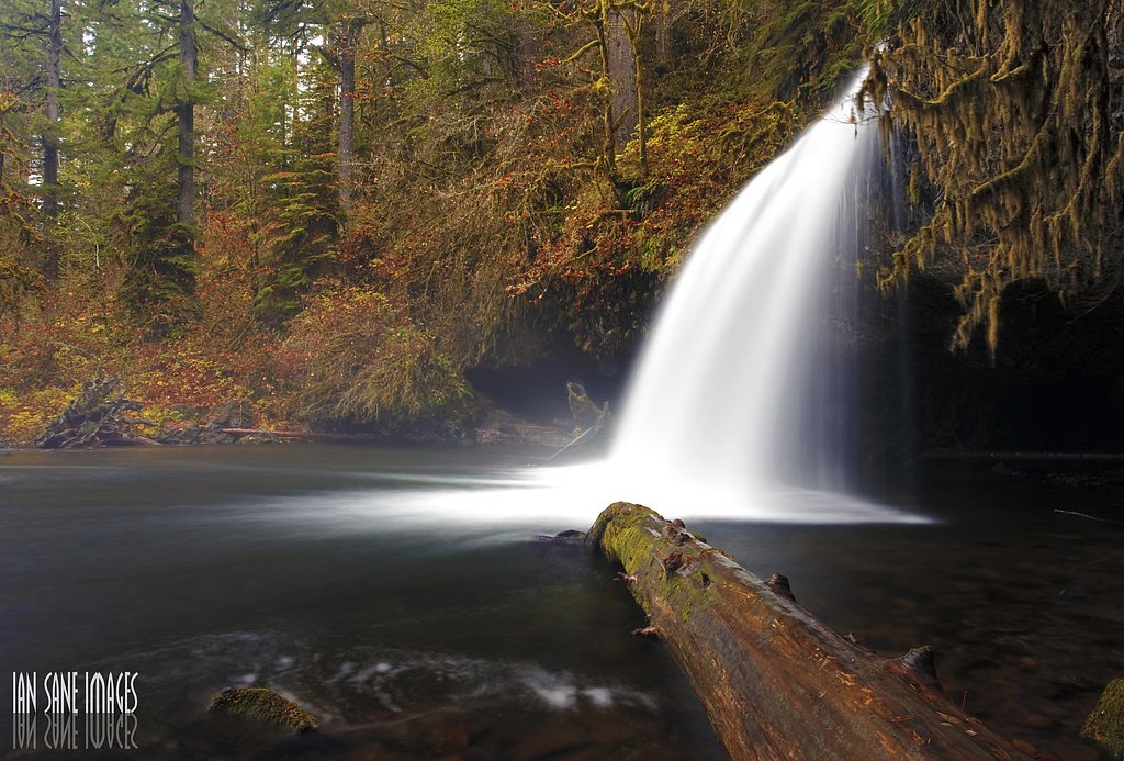
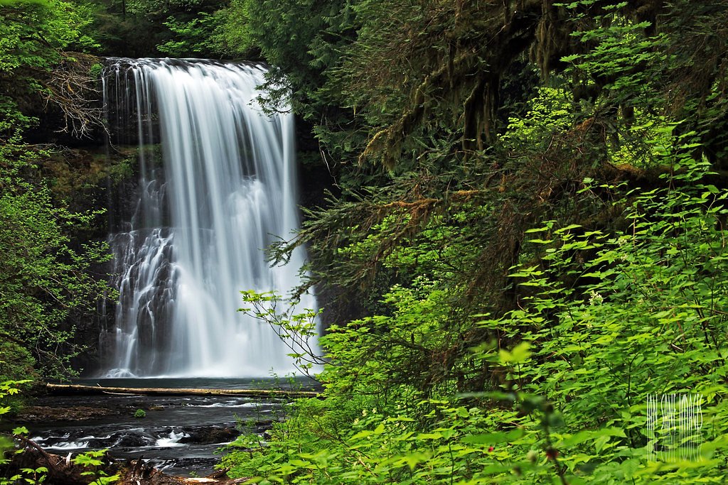
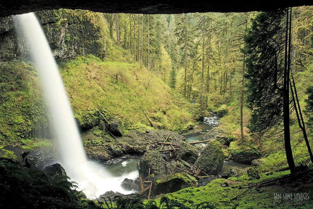
Butte Creek Falls sits southeast of Scotts Mills in Marion County, Oregon, and is the centerpiece attraction of the Butte Creek Falls trailhead and recreation site. According to published sources, the falls form a broad, photogenic cascade totaling about 78 feet, plunging through a lush forest setting that makes this a favorite quick jaunt for photographers and families. The site is on land managed under the Forest Development Fund (Board of Forestry); the landowner is SDNR and the manager is SLB, and the area is designated as an SRMA to support recreation and public access.
The Setting
Butte Creek Falls sits at 1,781 feet within Forest Development Fund (Board Of Forestry), in the hills of Oregon. The falls drop 20 feet.
Height: 20 feet
Nearby Falls Worth Visiting
Double Falls (178 ft) lies 6.8 miles to the west. Also nearby: North Falls (136 ft, 6.0 mi) and Abiqua Falls (92 ft, 2.7 mi).
Trail & Hike Details
The Approach
The easy 1.1-mile loop trail gains 200 feet of elevation on the way to the falls.
Trail Description
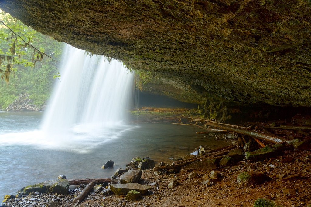
The hike is a short, family-friendly 1.1-mile loop with roughly 200 feet of elevation gain and an easy difficulty rating. The well-maintained path winds through mixed forest (Douglas-fir and maples are noted on-site) and delivers multiple viewpoints of the 78-foot-wide cascade; there is also an option to descend to a lower viewpoint closer to the base of the falls. Official surface type, grade, and trail class are not listed by the managing unit, but the route’s brief length and modest elevation make it an accessible outing for most hikers.
What to Expect
The falls drop a gentle 20 feet. Dogs are welcome.
Accessibility
The trail is not wheelchair accessible. Uneven terrain and elevation changes require steady footing.
Frequently Asked Questions
🐶 Are Dogs Allowed at Butte Creek Falls?
✅ Dogs are allowed
Are There Any Fees or Permits Required?
🆖 No fees required
🏊 Is There Swimming at Butte Creek Falls?
❌ Swimming is not allowed
When to Visit
Spring and early summer are ideal for visiting, as the waterfalls are typically at their fullest due to seasonal rainfall.
Seasonal Access
The best time to visit is Spring, Summer, Fall, and Winter.
Safety Information
Exercise caution near the edges of the falls, as the rocks can be slippery. Be prepared for muddy conditions, especially after rain. Cell service may be limited in the area.
Current Water Conditions
1.63 ft
Water depth at gauge
58°F
ColdBracing — limit time in water
What does this mean for your visit?
Water temperature is a bracing 58 degrees F, limit your time in the water.
About This Gauge
This gauge is on a nearby waterway and may not reflect exact conditions at the falls.
7-Day Flow Outlook
Based on the USGS gauge MOLALLA R AB PC NR WILHOIT, OR (10 km away).
Today
Roaring
35 cfs
6/10Tomorrow
Roaring
38 cfs
6/10Sun
Roaring
37 cfs
6/10Mon
Roaring
36 cfs
6/10Tue
Roaring
33 cfs
9/10Wed
Strong
33 cfs
10/10Thu
Roaring
35 cfs
6/10Best window: Wed — strong flow, sunny (trip score 10/10).
Best time of year: this gauge typically runs highest from late November to mid December, peaking in January.
How we calculate this
This is a transparent outlook, not a precise forecast. We take the waterfall's current flow strength (how it ranks against its historical normal for today, from the nearest USGS stream gauge), carry that ranking forward along the gauge's seasonal curve, and nudge it for forecast rain. Confidence is highest for the next day or two and falls further out. Always check official conditions and your own judgment before visiting — high flows can be dangerous.
Know when to go.
Get a free email alert when waterfalls near Mill City hit peak flow. We only send when conditions are worth the trip — no weekly newsletters, no spam.
Weather Forecast
Location & Access
Getting There
Butte Creek Falls is located near Scotts Mills, Oregon. From Scotts Mills, take Crooked Finger Road and follow signs for Butte Creek Falls. The road eventually turns to gravel, and the trailhead is well-marked with a small parking area.
Get Directions on Google MapsParking
There is a small parking lot at the trailhead, which can fill up quickly during peak times. Arrive early to secure a spot.
Elevation
1,781 feet above sea level
Coordinates
44.923456° N, -122.512307° W
Land Management
Managed by SLB
Visitor Tips & Gear
Visit early in the morning or on weekdays to avoid crowds. Wear sturdy shoes, as the trail can be muddy, especially after rain. Bring a camera to capture the scenic beauty.
As an Amazon Associate, we earn from qualifying purchases.
This easy 1.1 miles hike is straightforward — comfortable trail shoes and plenty of water should do. Icy conditions are common in winter — traction cleats are a smart addition.

Columbia Watertight II Rain Jacket
Packs into its own pocket, seam-sealed, and keeps you dry from spray and surprise rain.

Polarized Sunglasses (Knockaround)
Cuts glare off the water so you actually see the falls — and your photos turn out better too.

Earth Pak Waterproof Dry Bag
Keeps your phone and gear dry when waterfall mist soaks everything else.

Waterproof Phone Pouch (AiRunTech)
Cheap insurance — take photos right next to the falls without killing your phone.

Kahtoola MICROspikes
Cult-favorite traction cleats that grip ice and wet rock — essential for winter waterfall hikes.

JOBY GorillaPod Starter Kit
Wraps around railings and rocks for long-exposure waterfall shots — no flat surface needed.
Where to Stay
Oregon Garden Resort

The 1908 Bungalow
Rushing River Retreat

Half-Mi to Scotts Mills Falls Wine Country Apt
Browse vacation cabins and private rentals nearby
Unique outdoor stays — tents, yurts, and treehouses
Rent a campervan or RV for your waterfall road trip
Some links are affiliate links. We may earn a commission at no extra cost to you.
Nearby Campground
Three Bears Campground
8.5 miles away · 15 sites
Overview No cash, check, or cards are accepted on site. Make a reservations online or use the mobile app. Three Bears campsites are only available by making a reservation. Reserve a campsite on recreation.gov or Recreation.gov Mobile App prior to entering the Molalla River Recreation Corridor. There is no cell reception in the drainage. Situated in a picturesque grove of western red cedar 4 miles south of Glen Avon Bridge, the site has 15 tent campsites, each equipped with a tent pad, metal fire
Book on Recreation.govNearby Hot Springs
Hot springs near Mill City, Oregon

Bagby Hot Springs
Bagby Hot Springs flows at 136°F deep in Mount Hood National Forest at 2,272 feet elevation, requiring a 3,720-foot hike from F...

Austin Hot Springs
Austin Hot Springs discharges at 186°F along the Clackamas River at 1,680 feet elevation, emerging just 310 feet from Clackamas...

Breitenbush Hot Springs
Breitenbush Hot Springs emerges at 198°F along the Breitenbush River, ranking as one of Oregon's hottest thermal features with ...

Swim Warm Springs
Swim Warm Springs emerges at 79°F within Mount Hood National Forest at 4,063 feet elevation, flowing just 6.9 meters from White...

Bigelow Hot Springs
Bigelow Hot Springs, also called Deer Creek Hot Springs, emerges at 142°F just 400 feet from Deer Creek Road in the Willamette ...

Mount Hood Fumaroles
Mount Hood Fumaroles vent at 194°F from the flanks of Oregon's highest peak, among the state's most extreme geothermal features...
Looking for a soak after your hike? Explore more hot springs near Mill City, Oregon on SoakingSprings.
Explore Oregon springsAdditional Information
Nearby Attractions
Nearby attractions include Abiqua Falls and Silver Falls State Park, both offering additional hiking and waterfall viewing opportunities.
Wildlife
The area is home to a variety of wildlife, including birds, deer, and small mammals. Keep an eye out for native flora and fauna along the trail.
Cities near Butte Creek Falls
Nearby Waterfalls
Writing about Butte Creek Falls? Embed this waterfall on your site for free.