 LiDAR terrain view · USGS 3DEP
Gilmer Falls
By Armen Suny · Last verified Oct 2026
LiDAR & 3D terrainBefore you go
Land downstream of the falls is private. Stay near the parking area and the upstream side of the falls.
Difficulty
Easy
Trail Type
Out And Back
About Gilmer Falls
Gilmer Falls, also called Ziemer's Falls, is a series of small drops and rapids on the Red River just east of Gresham in Shawano County, ending in a larger sloping ledge at the bottom. It sits on the lower Red River below the Weed Dam, outside the Stockbridge-Munsee Reservation, and is a common take-out for whitewater kayakers. A dirt parking area sits a short slope above the falls, and the spot is popular for summer swimming and picnicking.
Trail & Hike Details
Trail Description
There is no developed trail. The falls are reached by walking down a very short slope from the dirt parking area to the rocks along the river.
What to Expect
Expect a string of small ledges and rapids with a larger drop at the bottom, best seen from the upstream side. The site has no facilities and can be busy on summer weekends.
Accessibility
The trail is short and relatively flat, but the surface may be uneven. Contact the managing agency for accessibility details.
Frequently Asked Questions
🐶 Are Dogs Allowed at Gilmer Falls?
❌ Dogs are not allowed
Are There Any Fees or Permits Required?
🆖 No fees required
🏊 Is There Swimming at Gilmer Falls?
❌ Swimming is not allowed
When to Visit
Spring and early summer are typically the best times to visit, as water flow is likely to be higher due to snowmelt and rainfall.
Seasonal Access
The best time to visit is Spring, Summer, and Fall. Winter access may be limited.
Safety Information
Rocks along the river are slippery and the current is strong at higher flows. The falls are a Class II-III whitewater rapid, so be careful wading or swimming near the drops.
Current Water Conditions
These readings come from the USGS gauge on Red River, 7.1 miles away, not on Gilmer Falls's own stream. Use them as a sign of whether the area is running wet or dry.
231 ft³/s
Current discharge — how much water is flowing
Much higher than usual for this time of year
Based on 34 years of record
6.48 ft
Water depth at gauge
55°F
ColdBracing — limit time in water
7-Day Discharge Trend
What does this mean for your visit?
The water is flowing much higher than usual, expect an impressive display. Water temperature is a bracing 55 degrees F, limit your time in the water.
About This Gauge
This gauge is on a nearby waterway and may not reflect exact conditions at the falls.
7-Day Flow Outlook
Based on the USGS gauge RED RIVER AT MORGAN ROAD NEAR MORGAN, WI (11 km away).
Today
Roaring
245 cfs
6/10Tomorrow
Roaring
258 cfs
6/10Fri
Roaring
252 cfs
9/10Sat
Roaring
236 cfs
9/10Sun
Roaring
231 cfs
9/10Mon
Roaring
225 cfs
9/10Tue
Roaring
223 cfs
9/10Best window: Fri — roaring flow, partly sunny (trip score 9/10).
Best time of year: this gauge typically runs highest from late March to mid June, peaking in April.
How we calculate this
This is a transparent outlook, not a precise forecast. We take the waterfall's current flow strength (how it ranks against its historical normal for today, from the nearest USGS stream gauge), carry that ranking forward along the gauge's seasonal curve, and nudge it for forecast rain. Confidence is highest for the next day or two and falls further out. Always check official conditions and your own judgment before visiting — high flows can be dangerous.
Know when to go.
Get a free email alert when waterfalls near Gresham hit peak flow. We only send when conditions are worth the trip — no weekly newsletters, no spam.
Is Gilmer Falls Frozen?
Updated about 4 hours agoNot frozen highs above freezing lately north-facing, shaded
Gilmer Falls is not frozen right now; highs have been above freezing. Yesterday ran 64°F to 59°F.
- Days below freezing
- 0 of the last 14
- Current cold streak
- 0 days
- Freezing days ahead
- 0 of the next 7
- Flow
- 220 ft³/s
Winter safety. Frozen falls are the one waterfall trip with a documented injury pattern: falling ice, and ice-glazed rock and trail. Wear microspikes, keep well back from the base and from overhangs, and never walk out on ice over moving water.
Estimate from Open-Meteo daily temperatures at the falls, the LiDAR-measured facing direction, and the nearest stream gauge. It is a likelihood, not a report from the trail. See every frozen waterfall in Wisconsin.
Weather Forecast
The Terrain, Seen by LiDAR
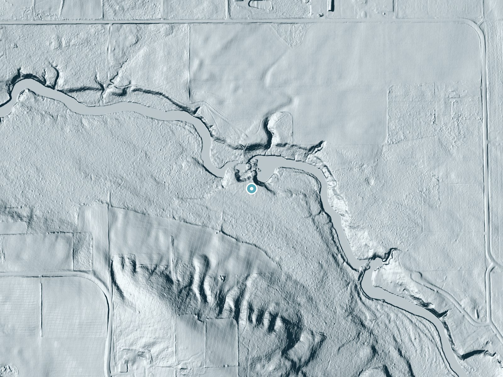
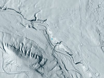
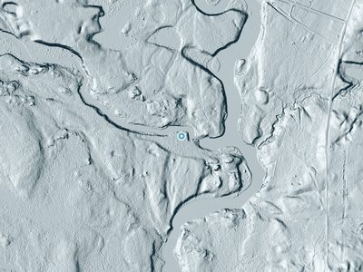
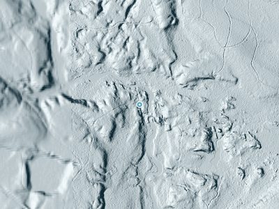
Aircraft-mounted lasers measured this ground to within inches. Trees and buildings are digitally stripped away, leaving the bare shape of the land the water has carved.
1-meter lidar shows the creek losing roughly 21 feet through Gilmer Falls over a long run of ledges. Elevation at the pin is about 862 feet.
Both above and below, the ground is gentle; the falls are the one abrupt step in an otherwise easy-going creek. Facing northeast, the falls stay mostly shaded, with soft, even light all day.
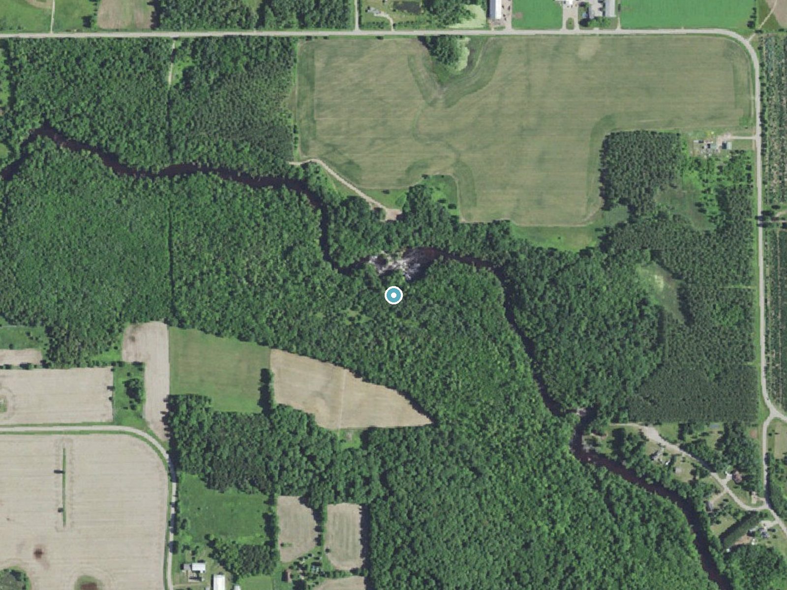
Drag to compare. The dot marks the waterfall. The frame is about a mile across.
- Ground elevation
- 862 feet
- Measured by 1-meter lidar
- Drop at the falls
- About 21 feet
- Change in ground height within ~250 feet of the falls
- Faces
- Northeast
- Mostly shaded, so the light stays soft and even all day.
A slice through the lidar ground surface, from above the falls to downstream (heading northeast).
Elevation data: USGS 3D Elevation Program. Aerial imagery: USGS The National Map. Public domain.
Location & Access
Getting There
Gilmer Falls is on the Red River just east of Gresham, about 2 river miles below the Weed Dam on Lower Lake Road. The parking area at the falls is the paddlers' take-out known as Ziemer's Access.
Get Directions on Google MapsParking
A small dirt parking area sits just above the falls and can fill on warm summer days. Paddling guides report past vandalism to vehicles at Red River access lots, so do not leave valuables in view.
Hours
Elevation
863 feet above sea level
Coordinates
44.842479° N, -88.722604° W
Visitor Tips & Gear
Land downstream of the falls is private, so view the lower drop from the upstream side near the parking area. Take care hopping across the rocks; a slip puts you in moving water.
Where to Stay
Boarders Inn & Suites by Cobblestone Hotels - Shawano

Cobblestone Inn & Suites - Clintonville
Haven Hotel Shawano WI
Landmark Motel
Browse vacation cabins and private rentals nearby
Unique outdoor stays — tents, yurts, and treehouses
Rent a campervan or RV for your waterfall road trip
Some links are affiliate links. We may earn a commission at no extra cost to you.
Nearby Campground
BOULDER LAKE
20.9 miles away · 99 sites
Overview Boulder Lake Campground is located on the shores of Boulder Lake in northern Wisconsin. It is the forest's largest campground but campsites fill up fast. The campground is home to individual and group sites, making it an ideal location to relax with friends or family. Recreational opportunities abound. Recreation Boulder Lake provides ample opportunities for power boating, water skiing, fishing and swimming. Anglers might catch walleye, northern pike, bass or panfish. Ice fishing is also
Book on Recreation.govAdditional Information
Nearby Attractions
Little Bull Falls is downstream on the same stretch of the Red River, and the small Red River Falls is at the County Road A crossing near the Red River Tavern.
Wildlife
The area may host typical Wisconsin wildlife, including birds, deer, and small mammals.
Cities near Gilmer Falls
Nearby Waterfalls
 LiDAR
 LiDAR
 LiDAR
 LiDAR
Writing about Gilmer Falls? Embed this waterfall on your site for free.