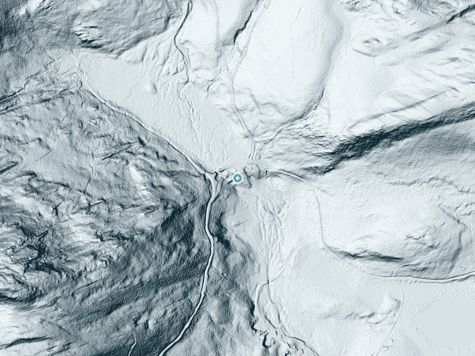
 LiDAR terrain view · USGS 3DEP
Difficulty
Easy
Trail Length
1.0 miles
Trail Type
Out And Back
About Heald Stream Falls
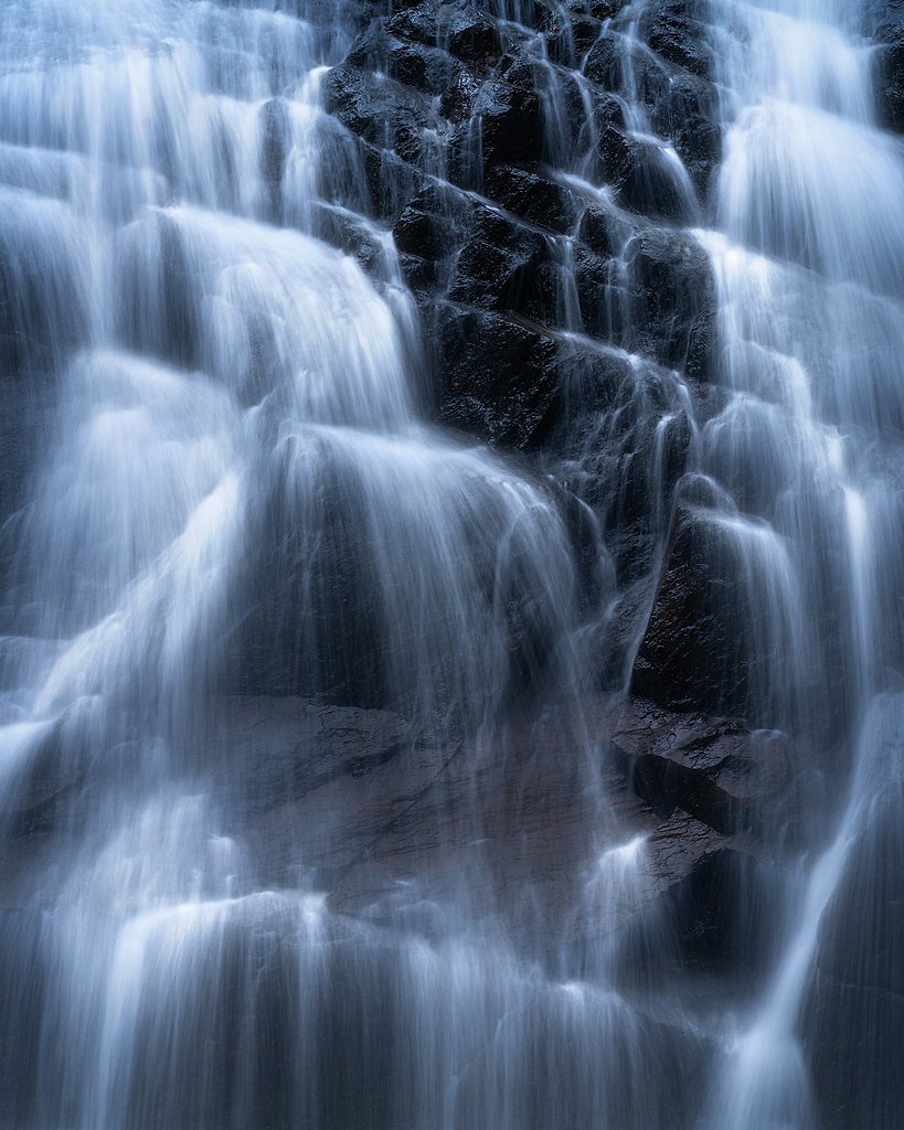
Heald Stream Falls is a tucked-away Maine waterfall made up of horsetail flows and cascading tiers that together drop about 18 feet (6 m). Nestled roughly 6 miles (10 km) from the US–Canada border, the falls feel pleasantly remote and are a favorite quiet spot for photographers and hikers seeking a low-key nature escape. Its modest height and layered cascades create attractive downstream pools and mossy rock ledges that are easy on the eyes. The approach isn’t overly ambitious but rewards visitors with a peaceful forest setting and close-up views of the water tumbling over bedrock. Because it’s a lesser-known destination, you can often enjoy a bit more solitude than at busier Maine waterfalls; bring sturdy footwear and a camera to make the most of the short outing.
Trail & Hike Details
Trail Description
The tread follows natural forest terrain—dirt and leaf litter—with uneven sections, exposed roots and occasional rocky spots, so steady footing is required. Expect some moderate climbs on the approach; the path leads directly to viewpoints close to the horsetail-and-cascade drops, making this a satisfying half-day hike for most reasonably fit hikers.
What to Expect
Dogs are welcome.
Accessibility
The trail is not wheelchair accessible. Uneven terrain and elevation changes require steady footing.
Frequently Asked Questions
🐶 Are Dogs Allowed at Heald Stream Falls?
✅ Dogs are allowed
Are There Any Fees or Permits Required?
🆖 No fees required
🏊 Is There Swimming at Heald Stream Falls?
❌ Swimming is not allowed
When to Visit
Spring and early summer are ideal times to visit, as the water flow is typically stronger due to snowmelt and rainfall.
Seasonal Access
The best time to visit is Spring, Summer, and Fall. Winter access may be limited.
Safety Information
Be cautious of slippery rocks near the falls, especially after rain. Cell service may be limited in the area, so plan accordingly. Always let someone know your plans if visiting remote locations.
7-Day Flow Outlook
Based on the USGS gauge S. Br. Penobscot River nr Canada Falls Lake, Maine (25 km away).
Today
Moderate
51 cfs
8/10Tomorrow
Strong
55 cfs
8/10Fri
Strong
80 cfs
9/10Sat
Strong
62 cfs
8/10Sun
Strong
64 cfs
8/10Mon
Strong
80 cfs
8/10Tue
Strong
83 cfs
8/10Best window: Fri — strong flow, mostly cloudy (trip score 9/10).
Best time of year: this gauge typically runs highest from mid March to late May, peaking in April.
How we calculate this
This is a transparent outlook, not a precise forecast. We take the waterfall's current flow strength (how it ranks against its historical normal for today, from the nearest USGS stream gauge), carry that ranking forward along the gauge's seasonal curve, and nudge it for forecast rain. Confidence is highest for the next day or two and falls further out. Always check official conditions and your own judgment before visiting — high flows can be dangerous.
Is Heald Stream Falls Frozen?
Updated about 4 hours agoNot frozen highs above freezing lately
Heald Stream Falls is not frozen right now; highs have been above freezing. Yesterday ran 54°F to 47°F.
- Days below freezing
- 0 of the last 14
- Current cold streak
- 0 days
- Freezing days ahead
- 0 of the next 7
- Flow
- 51 ft³/s
Winter safety. Frozen falls are the one waterfall trip with a documented injury pattern: falling ice, and ice-glazed rock and trail. Wear microspikes, keep well back from the base and from overhangs, and never walk out on ice over moving water.
Estimate from Open-Meteo daily temperatures at the falls, the LiDAR-measured facing direction, and the nearest stream gauge. It is a likelihood, not a report from the trail. See every frozen waterfall in Maine.
Weather Forecast
The Terrain, Seen by LiDAR
Aircraft-mounted lasers measured this ground to within inches. Trees and buildings are digitally stripped away, leaving the bare shape of the land the water has carved.
The bare-earth surface loses about 63 feet through the falls, but gradually, the profile of a cascade rather than a plunge. The ground at the falls is roughly 1,672 feet above sea level.
The ground changes about 6 feet in the 500 feet above the falls and 39 feet in the 500 feet below. The falls face southeast and sit in full sun for most of the day, best photographed early or late.
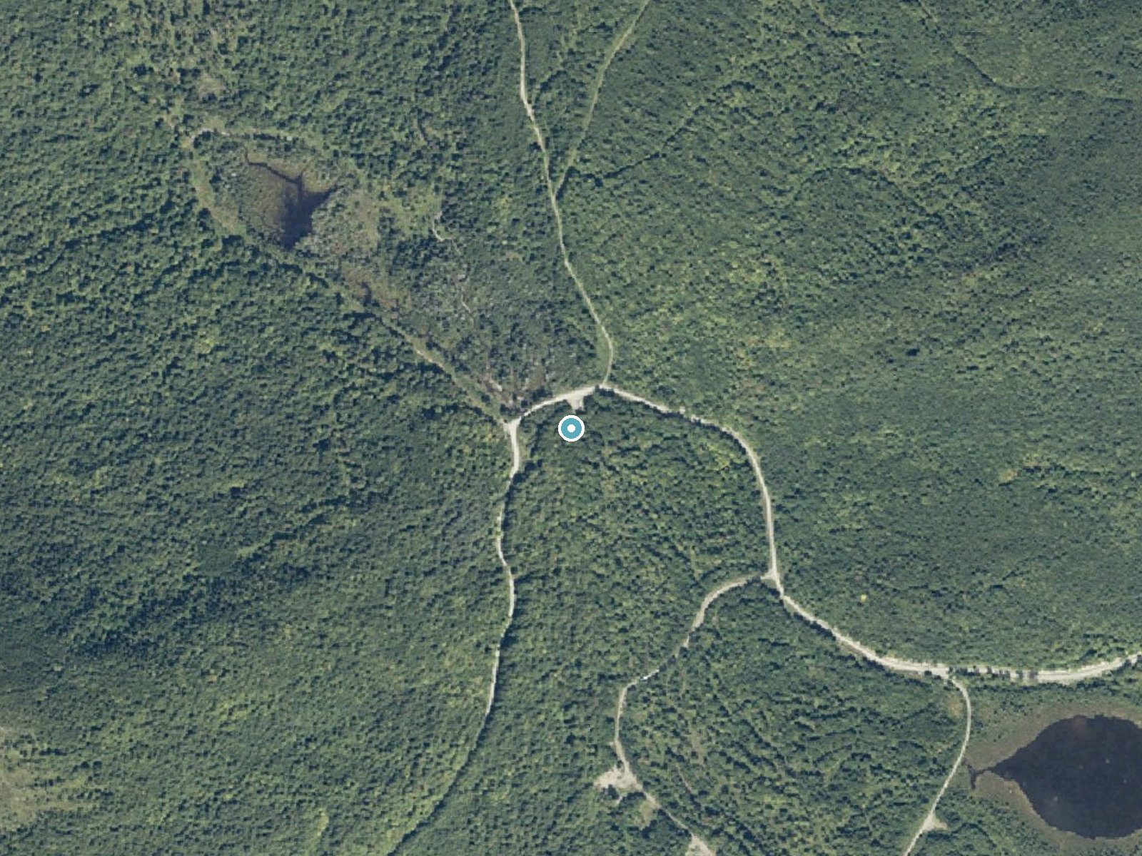
Drag to compare. The dot marks the waterfall. The frame is about a mile across.
- Ground elevation
- 1,672 feet
- Measured by 1-meter lidar
- Drop at the falls
- About 63 feet
- Change in ground height within ~250 feet of the falls
- Faces
- Southeast
- Sunlit most of the day. Go early or late for softer light.
A slice through the lidar ground surface, from above the falls to downstream (heading southeast).
Elevation data: USGS 3D Elevation Program. Aerial imagery: USGS The National Map. Public domain.
Location & Access
Getting There
Heald Stream Falls is located near Jackman, Maine. Access typically involves driving on rural roads, and the falls are situated in a remote area. Visitors should use GPS coordinates or detailed maps to locate the site.
Get Directions on Google MapsParking
Parking may be available in small pull-off areas near the trailhead or along the road. Space is limited, so plan accordingly.
Elevation
1,673 feet above sea level
Coordinates
45.743378° N, -70.263402° W
Visitor Tips & Gear
Bring bug spray during the warmer months, as mosquitoes and other insects can be prevalent. Wear sturdy shoes, as the trail may be uneven. Check weather conditions before visiting, especially in winter, as snow and ice can make access challenging.
Where to Stay

Unity Sky Lodge
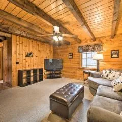
All-Season Sanctuary: Steps to Moosehead Lake
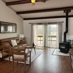
Fun on Moosehead Lake

Mountainview Resort by Coolvacay
Browse vacation cabins and private rentals nearby
Unique outdoor stays — tents, yurts, and treehouses
Rent a campervan or RV for your waterfall road trip
Some links are affiliate links. We may earn a commission at no extra cost to you.
Additional Information
Nearby Attractions
The town of Jackman offers additional outdoor activities such as hiking, fishing, and canoeing. Moose River is also nearby for those interested in exploring more of Maine's natural beauty.
Wildlife
The area is home to a variety of wildlife, including birds, deer, and occasionally moose. Visitors should remain cautious and respectful of the local fauna.
Nearby Waterfalls
Writing about Heald Stream Falls? Embed this waterfall on your site for free.